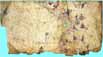
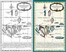
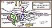
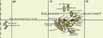
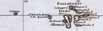
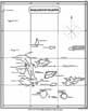
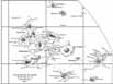
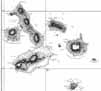
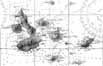
Why are old charts and maps so fascinating? Maybe they remind us of our fantasy of finding secret treasure, where 'X' marks the spot. But old maps are treasures in of themselves. Indeed, they are collector's items and at auction, a map two or three hundred years old in good condition can fetch tens or even hundreds of thousands of dollars. Before mass production, each map was individually crafted: hand-drawn and colored, and then embellished with calligraphic labels and miniature portraits. So each one was a work of art, and consquently very rare. By the middle of the 19th century, modern lithographic printing enabled reproduction of as many copies as the market demanded, so prices for more recent maps are lower. In the selection of maps below, compare how the maps improved over time a reflection of increased knowledge and interest in the islands we see that the maps evolved over time! Maps improved over time due to technological advances in navigation.
(Maps reproduced with permission from the collection of John Woram.)