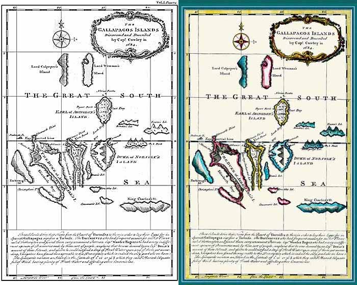
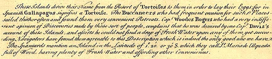
This 1744 map by English cartographer Emanuel Bowen (c. 1720-1767) shows that by the mid-18th century, the Galapagos remained poorly known. However, individual locations of the islands with respect to the equator and each other are approximately correct. Santa Cruz (Duke of Norfolk's Island) and San Cristobal (King Charles's Island) are fairly accurate, although San Cristobal is elongated and parallel to the equator. Least accurate is Isabela (Duke of Albemarle's Island), which entirely lacks the southern part of the island. The map is based on an earlier chart by Herman Moll. The black and white map is the published version that was often colored when removed from its atlas: Navigantium atque Itinerantium Bibliotheca by John Harris. The text below the map reads:
(with permission from John Woram's collection)