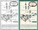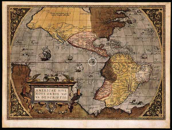
The first depiction of the Galapagos Islands on any map was by Abraham Ortelius (1527-1598), a Flemish cartographer who published an atlas, Orbis Terrarum in 1574. His world map shows the islands' approximate location (white circle): on the equator several hundred miles west of South America. Closer inspection of the islands (below) reveals significant inaccuracy, a reflection of relative ignorance about the islands themselves.

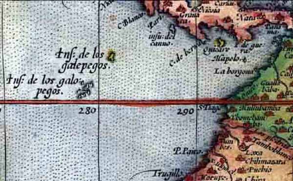
This detail from Ortelius' map shows that details of the islands (Insulae de los galopegos) were poorly known, although their location is approximately correct. The group seems composed of a half dozen similarly sized islands just above the equator. In fact there are thirteen major islands, and most of the land area is below the equator. Also, the colored feature to the northeast of the main group may represent one of the small northerly islands but the best candidate may be Cocos Island, which is not considered part of the archipelago. Later editions of the Orbis Terrarum corrected this error.